Project overview
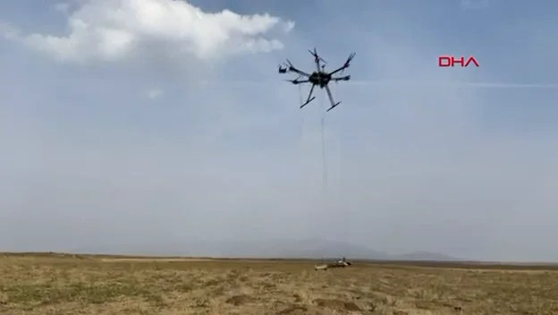
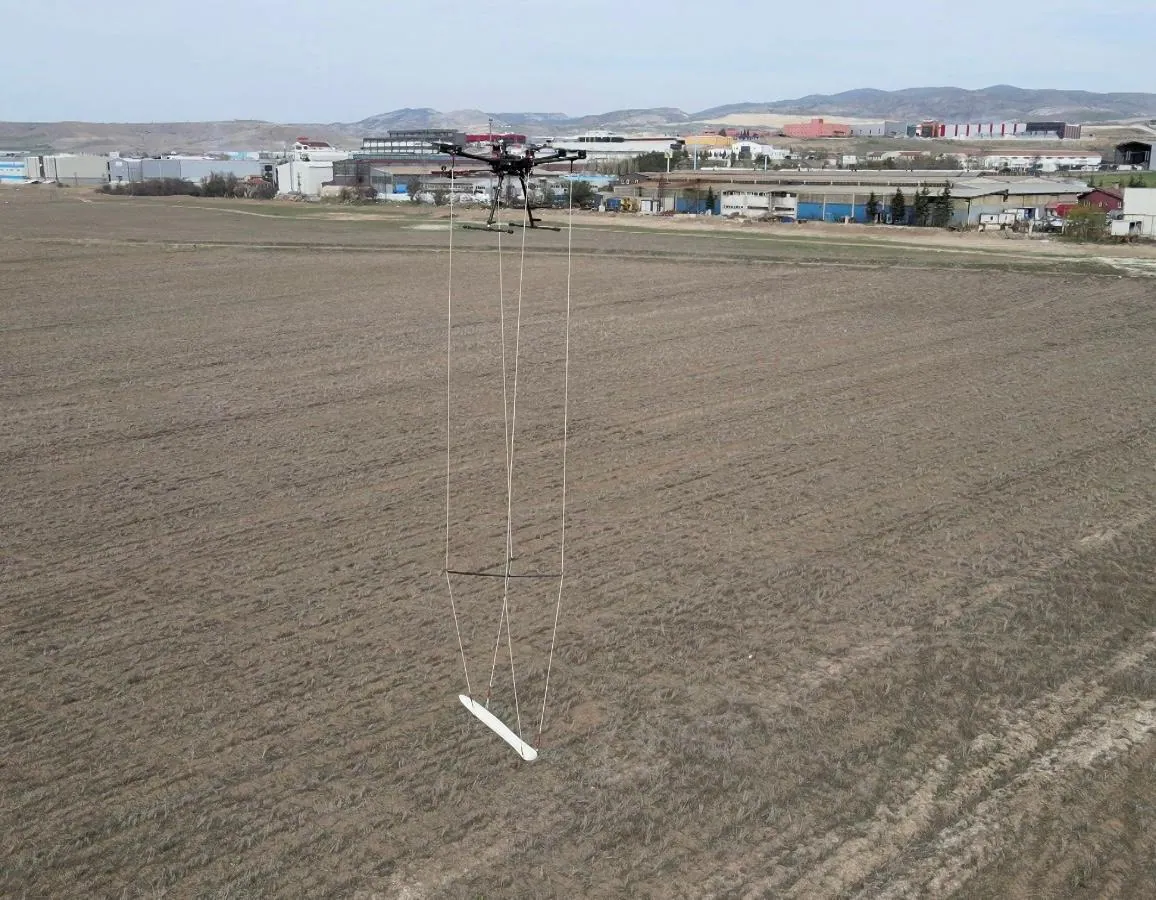
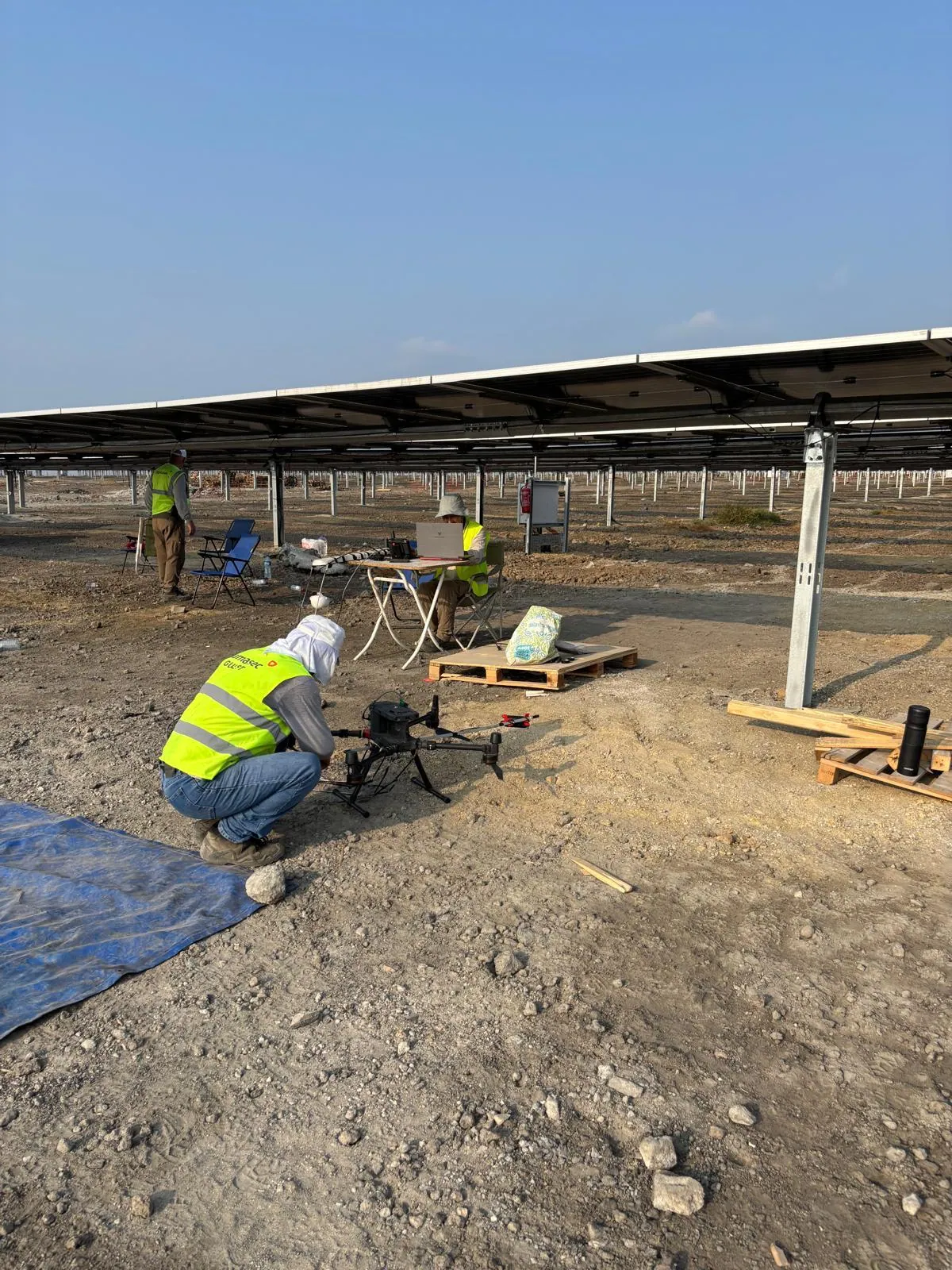
To allow installation and excavation work to proceed safely at a solar power plant (SPP) site, a subsurface survey is being carried out with BULUCU, DAMASEC’s drone-based magnetic gradiometer system. Flying in low-altitude terrain-following mode between panel rows, the system maps buried metal objects and infrastructure.
Scope
- Site-wide UAV magnetic survey
- Identification of potential unexploded ordnance (UXO) risks
- Locating buried cables and metal pipelines
- Coordinate-based target lists and GIS outputs before excavation
Field photos from the work are available in the media section below.