Project overview
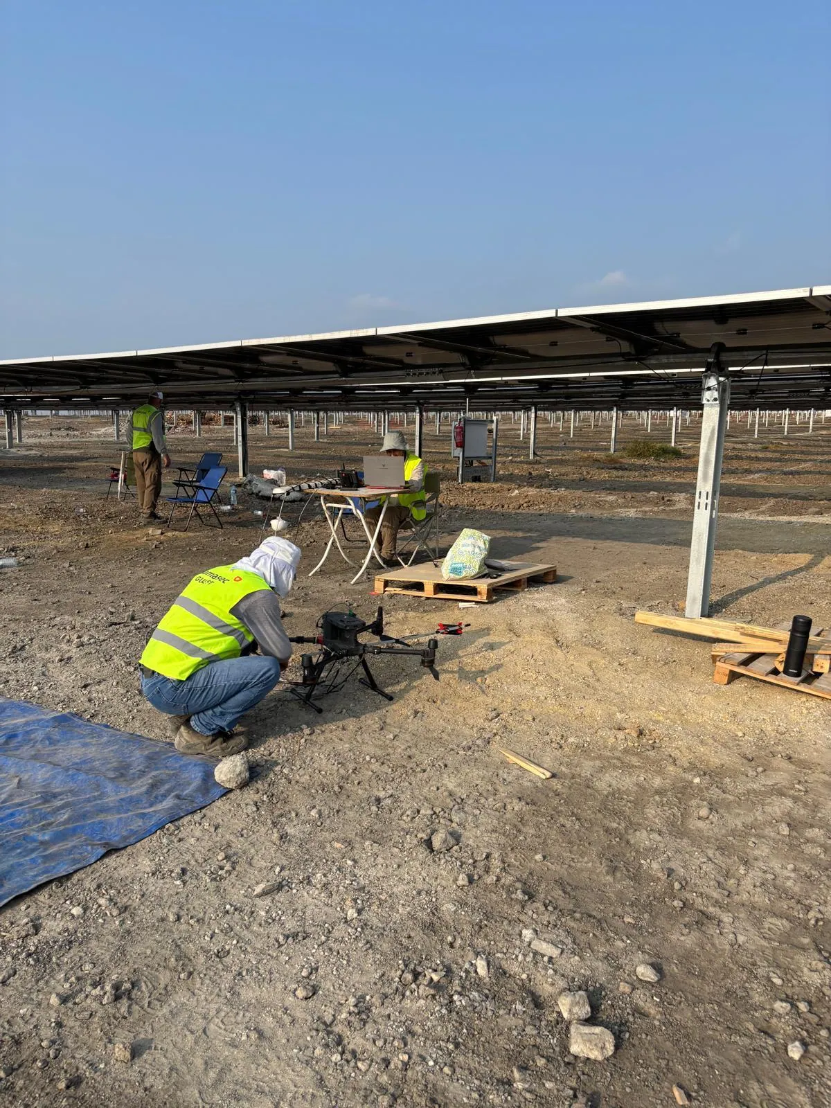
DAMASEC took part with its UAV-based magnetic survey capability in the “Detection, Historical and Archaeological Survey of the Malazgirt Battlefield” project, supported by the Ministry of Culture and Tourism and carried out in cooperation with the General Directorate of Cultural Heritage and Museums, the Ahlat Museum and Muş Alparslan University.
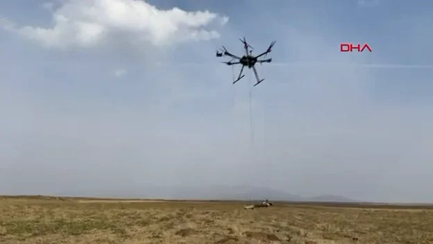
On the Gülkoru plain, about 11 km from the town of Malazgirt, the area where the battle is believed to have taken place was surveyed with a drone-integrated magnetometer. It was the first time this method had been applied in battlefield archaeology in Türkiye.
Method
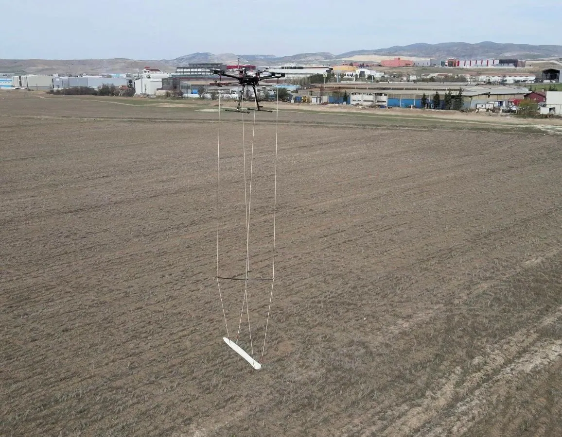
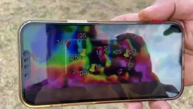
The magnetometer takes continuous measurements along survey lines from a set height on the drone. Using changes in magnetic intensity, anomalies are mapped so that the locations of metal objects possibly belonging to the battle (weapons, equipment and gear) are identified before excavation, and large areas are covered quickly.
- Low-altitude terrain-following flight with a drone-integrated magnetic gradiometer (BULUCU)
- Centimetre-level positioning with RTK/PPK GNSS
- Real-time monitoring of anomaly maps in the field on a mobile device
- Coordinate-based target lists for the excavation teams
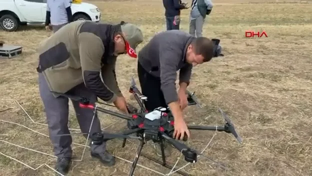
Demirören News Agency (DHA) reported on the work on the Gülkoru plain, highlighting that it was the first time the device had been used in Türkiye in archaeological work to locate the Malazgirt battlefield. An excerpt of the report is available in the video section below.
Full report (dha.com.tr, Turkish) ↗Outcome
The work was completed as a pilot survey aimed at bringing a new methodology to battlefield archaeology and covering very large areas in a short time. The anomaly data provided input for planning subsequent excavation seasons.