
Drone magnetic survey at the Malazgirt battlefield in the press
The drone-integrated magnetometer survey to locate the Battle of Malazgirt site was reported by Demirören News Agency (DHA).
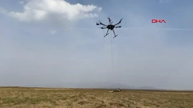
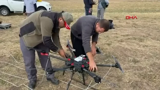
Within the “Detection, Historical and Archaeological Survey of the Malazgirt Battlefield” project supported by the Ministry of Culture and Tourism, the Gülkoru plain was surveyed with a drone-integrated magnetometer. Demirören News Agency (DHA) reported on the work, highlighting that it was the first time the method had been used in battlefield archaeology in Türkiye; the story was also carried by other outlets including Habertürk.
What was done?
- The area believed to be the battle site was surveyed by a drone flying in low-altitude terrain-following mode
- The magnetic anomaly map was monitored in real time on a mobile device in the field
- The data provided input for planning subsequent excavation seasons
Project details, photos and an excerpt of the DHA report are available on the project page.